Sketch Map of Oregon Territory 1855
Sketch Map of Oregon Territory 1855
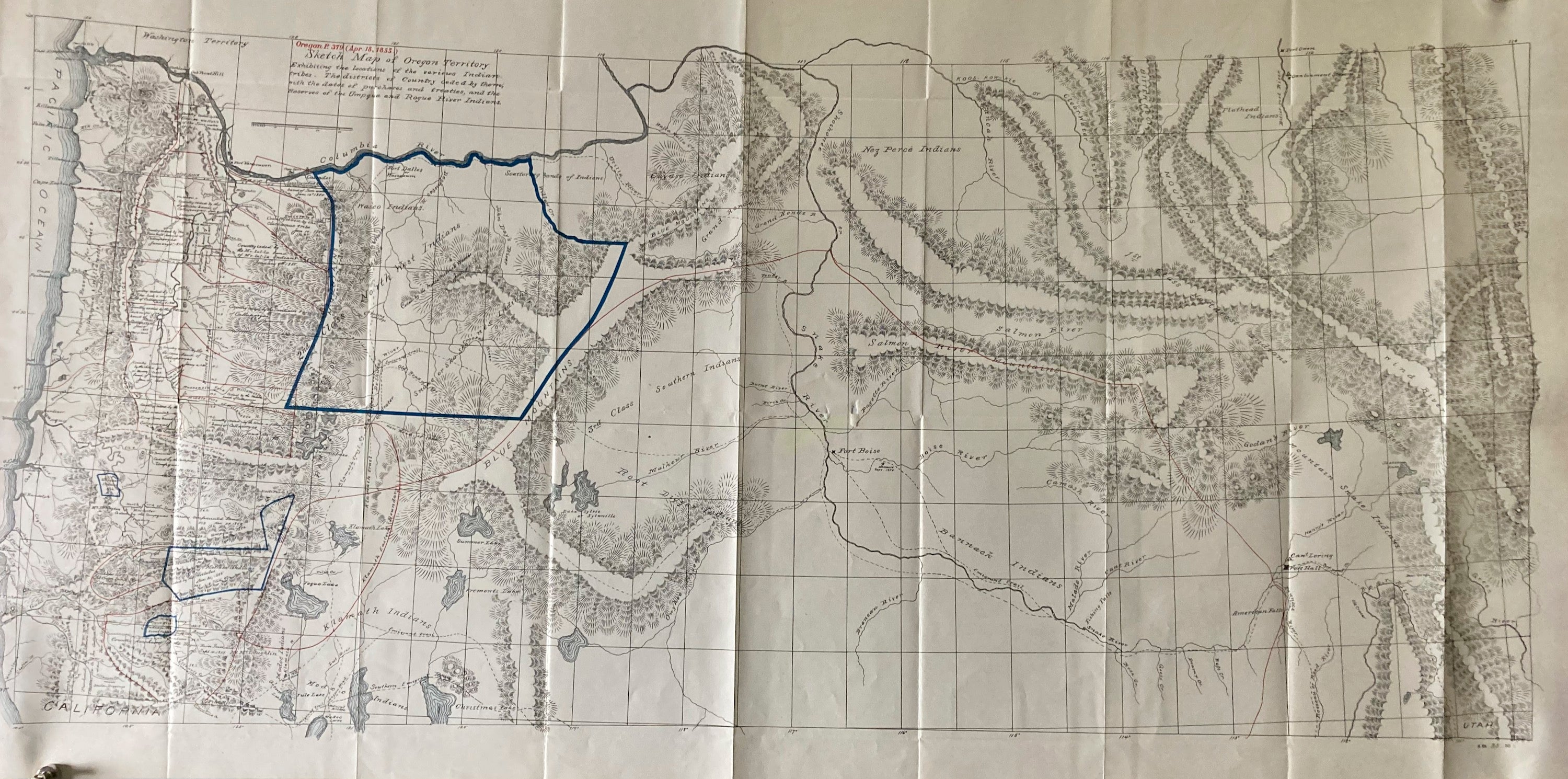
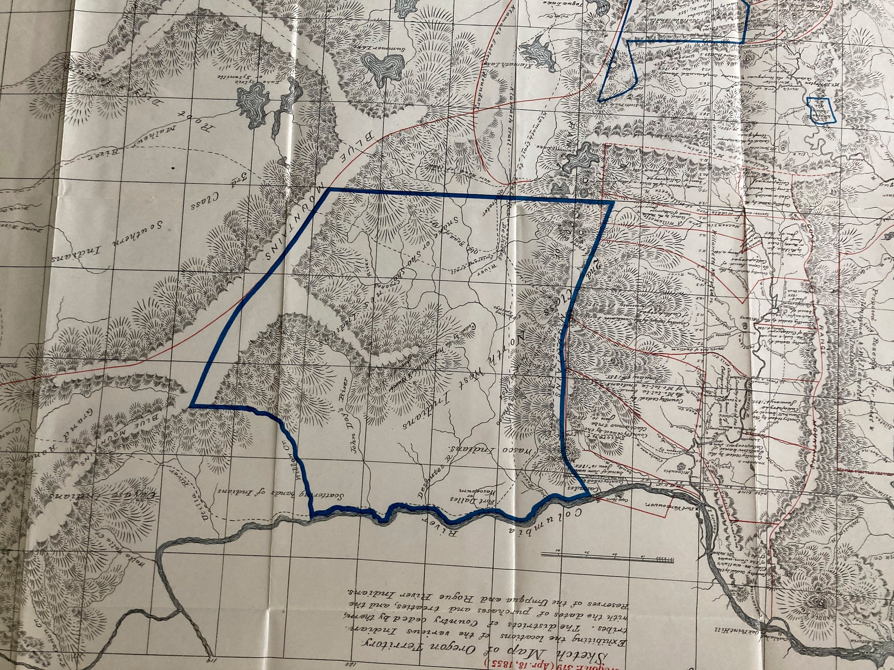
Sketch Map of Oregon Territory 1855
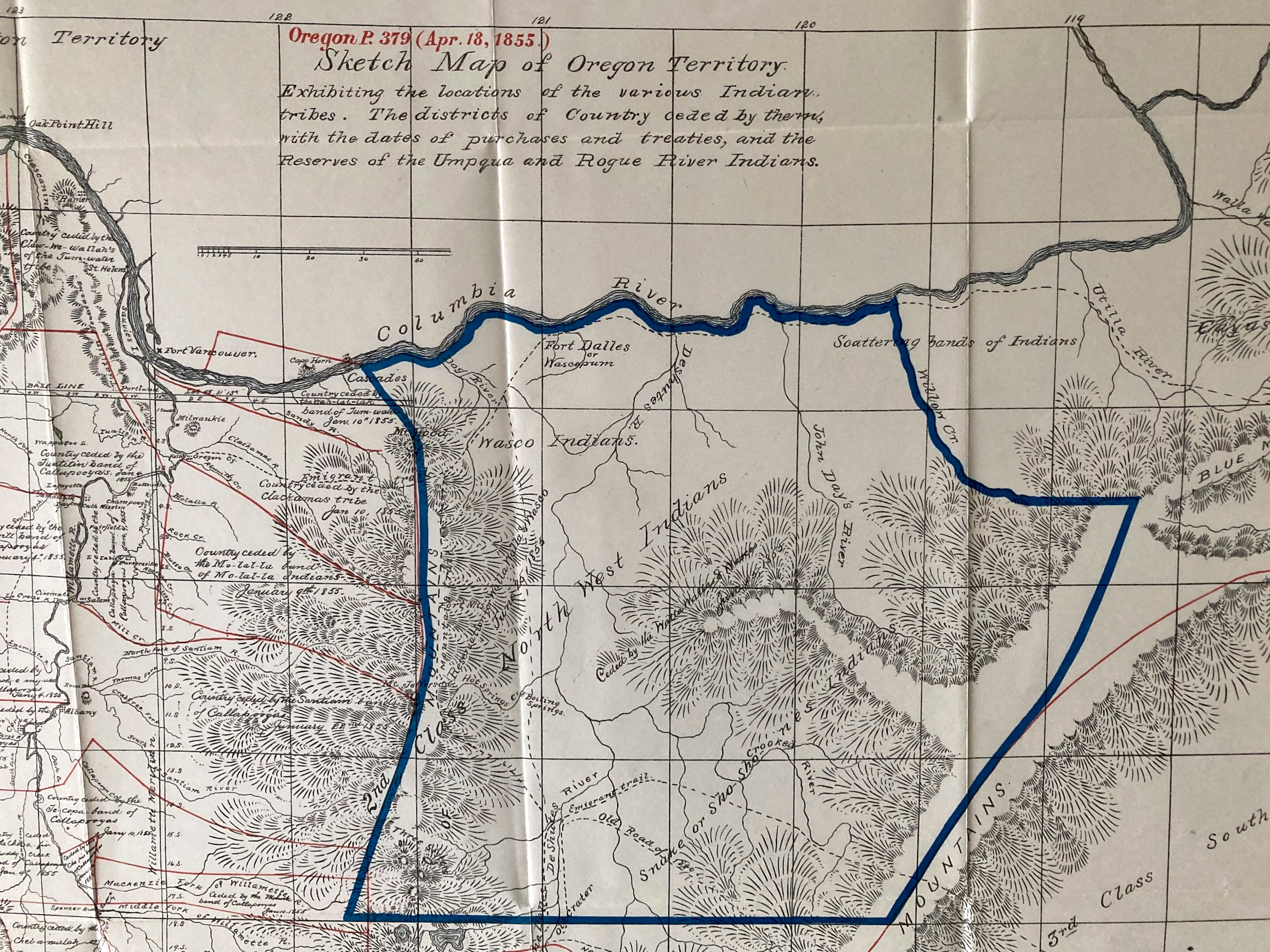
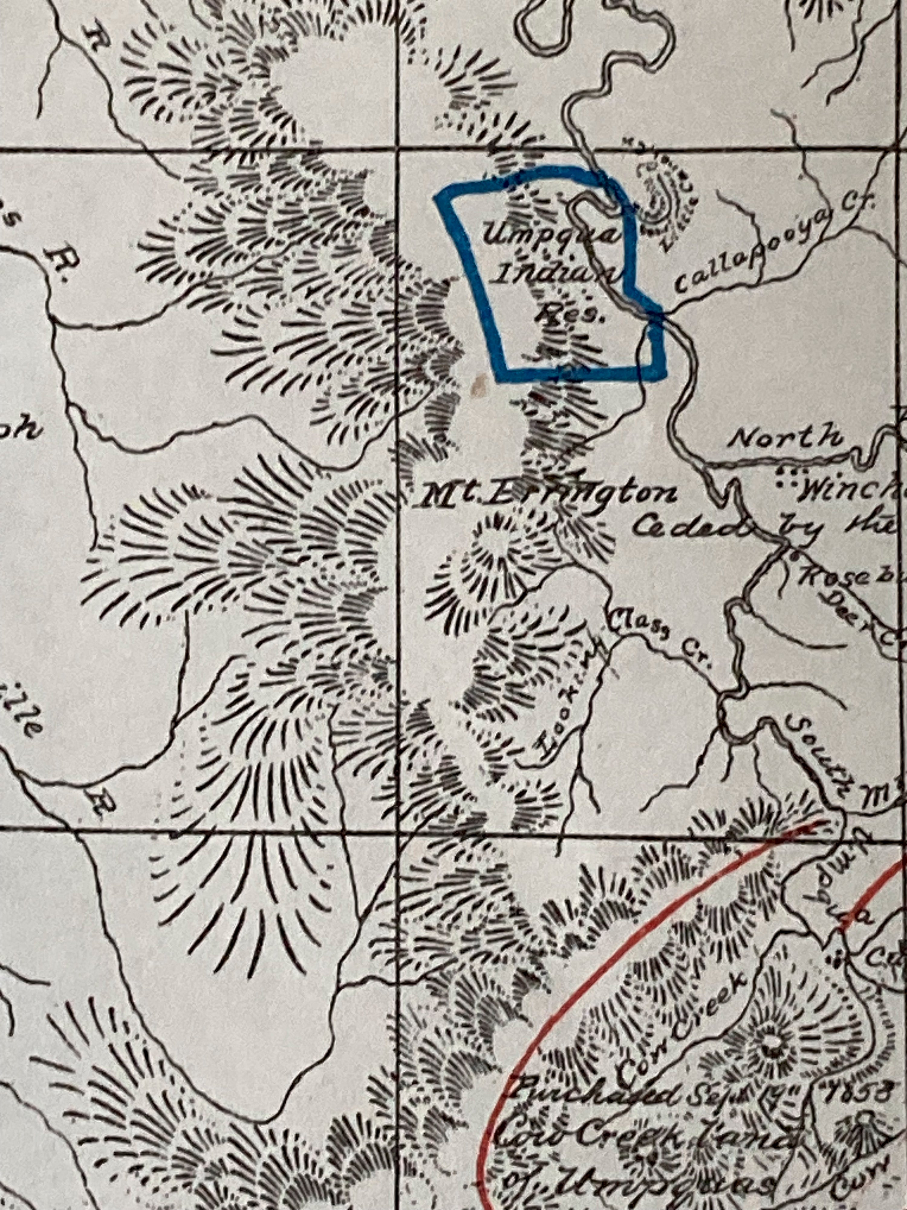
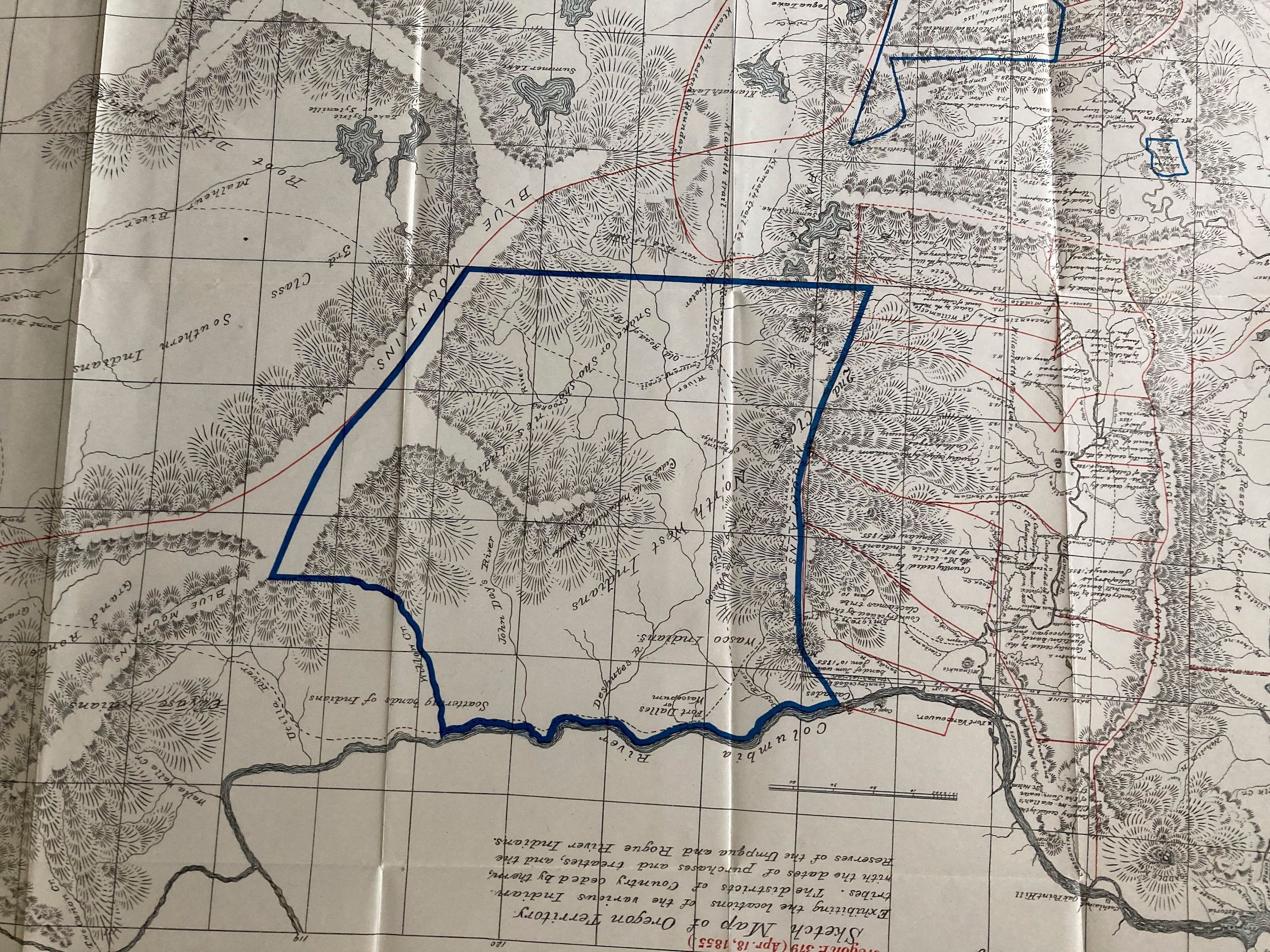
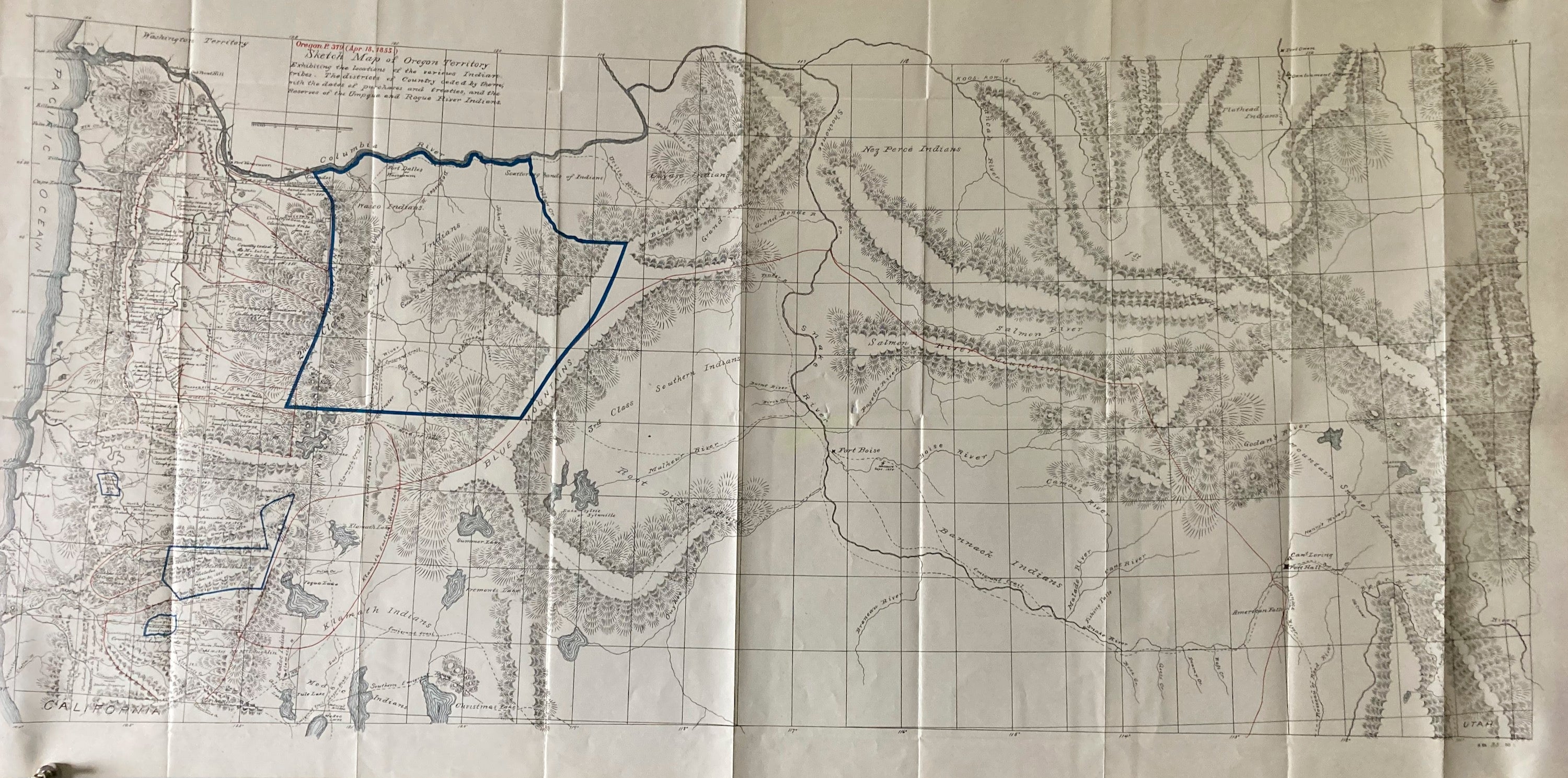
Map of Oregon Territory Joel Palmer Map of 1855 -1893
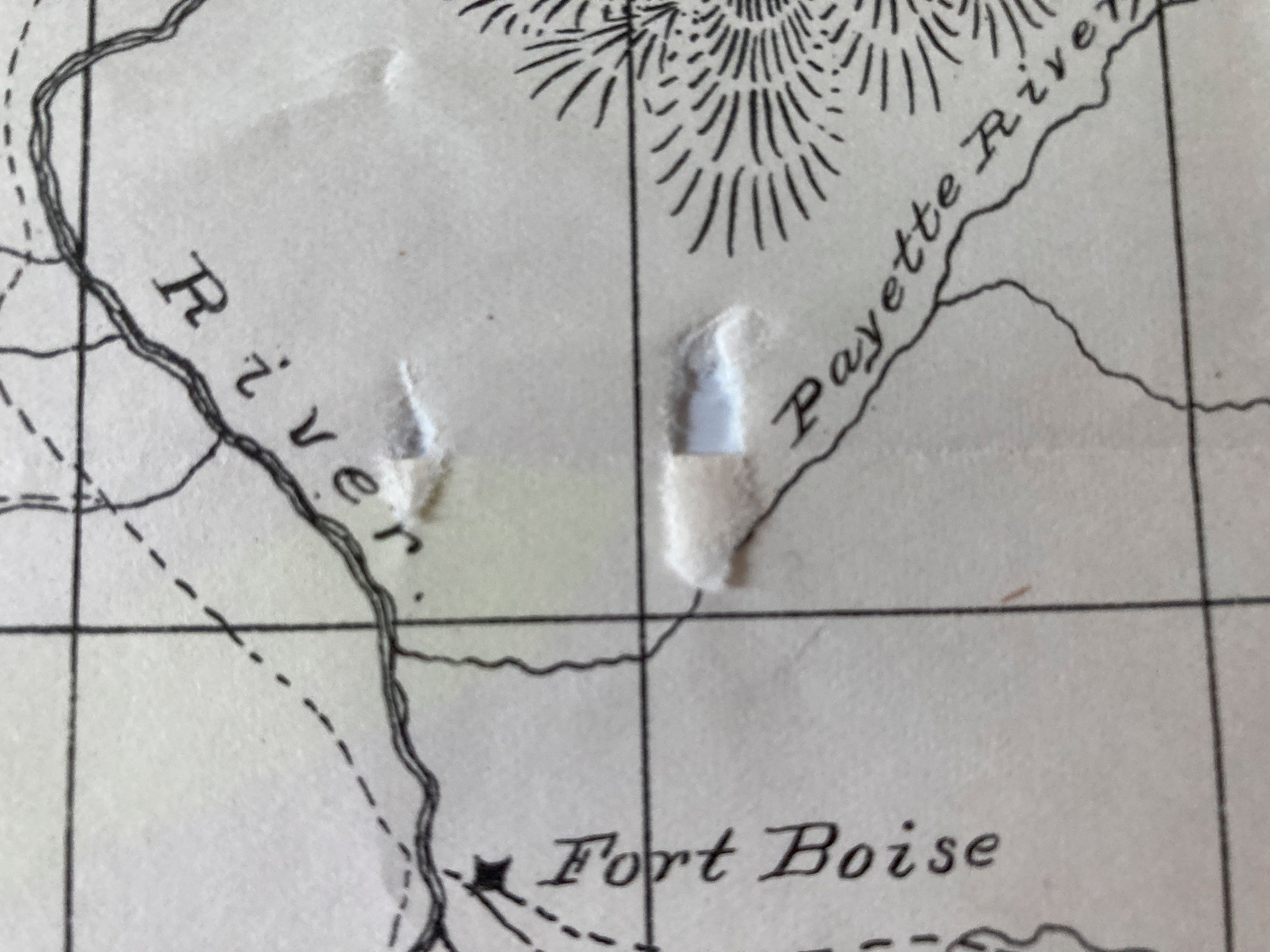
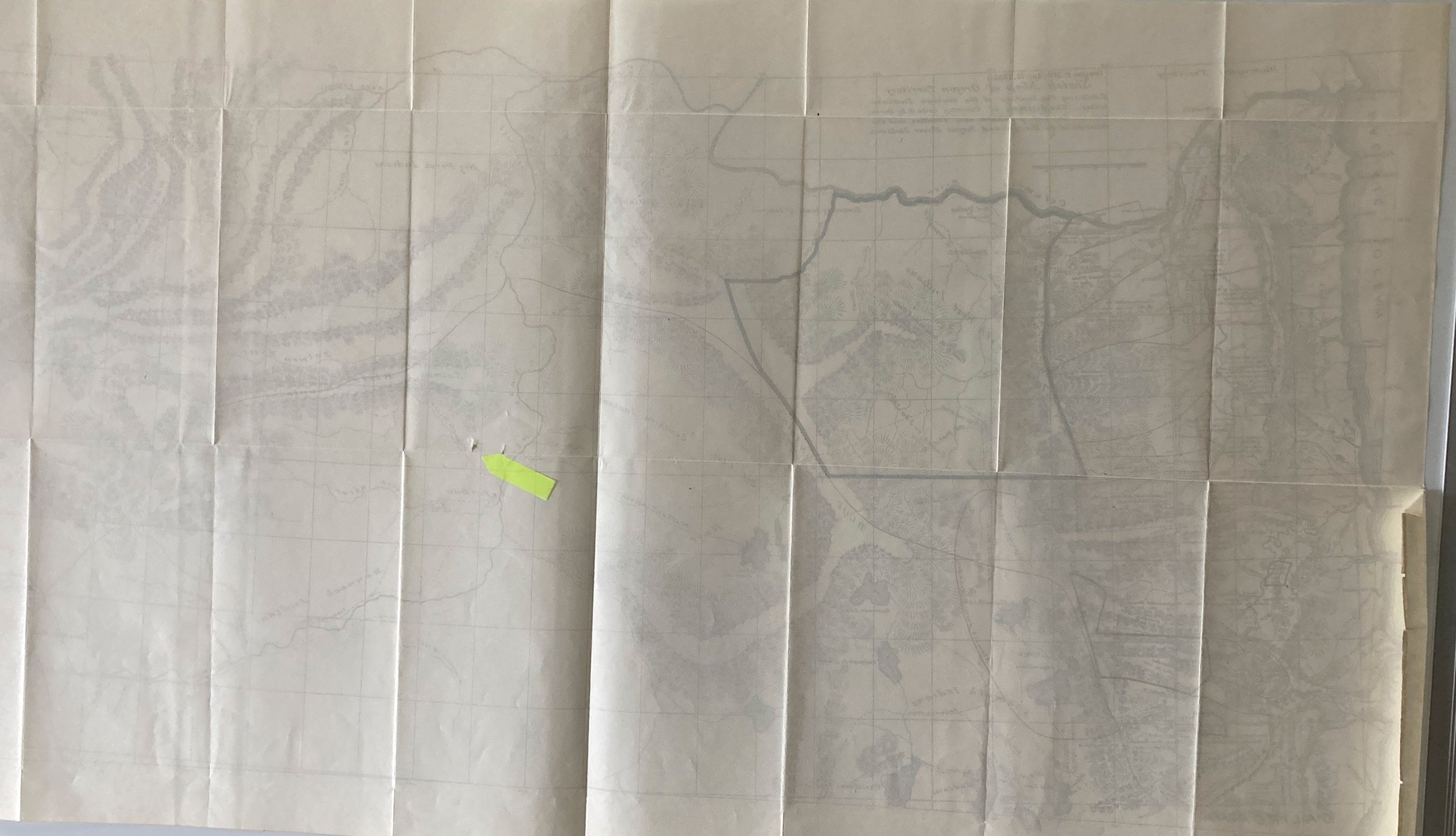
Two small punctures inside of Neatline. Look easily repairable. Map shows Oregon as it was in 1855, between 42nd and 47th Parallels into Montana and east to the Green River Mountains. this is one of the great Oregon maps. Not only is it beautiful, but it represents the crucial years of 1854-55 when Palmer was "purchasing" the lands of the various Indian tribes and getting them onto reserves. And moreover, western Oregon is a geographic representation of all the survey work that the surveyor general"s office had done since 1851.
The history of this map is an intriguing history in and of itself. Joel Palmer (the Oregon Superintendent of Indian Affairs) was ordered on August 12, 1854, to "enter into negotiations with the several tribes in Oregon for secession of their lands." He does, and makes treaties (dates, cessions, etc., all noted on the map. He is ordered to make the map as well.) On April 18, 1855 Palmer sends the associated map (this map) to George W. Manypenny, the Indian Affairs Commissioner in Washington DC. In a tin box! The tin box with the map arrived too late for any decisions to be made about Palmer"s recommendations for various reserves and the movements of Indians.(PalmerPalmer goes About his job of moving Indians to and fro any-way) Later in 1855 there are Indian troubles all over the Northwest; and they endure, off and on through 1859. Then the civil war comes along and... Palmer's treaties and this map, are somehow abandoned, and not printed ( except for a single confidential document used in the Senate Committee on Indian Affairs in 1857: and there is no indication that the map was printed.) On October 10 and 11, 1893, Senate orders are issued calling for the printing of Palmer's treaties and the printing of the map. it appears from the communications between Palmer and Manypenny and the General Land Office in Oregon that a Mr Belden (George H. Belden?) was responsible for the actual drafting of this map.
Note: Map is printed in conjunction with: SED no. 25. 53rd Congress, Session. Letter ... Secretary of Interior. September 2, 1893. 58 pp. (A report on the Indian Affairs in Oregon, 1854-56; together with all the treaties that Palmer had made. Does not include the eastern Oregon treaties; however, the map shows the results of the treaty with the Wascos and Walla Wallas.)
Partly Colored, oceans, streams, lakes, etc
36 x18 Source: Eastern Oregon Books and Print Volume II An annotated and Historical Bibliography By Wayne Kee.
