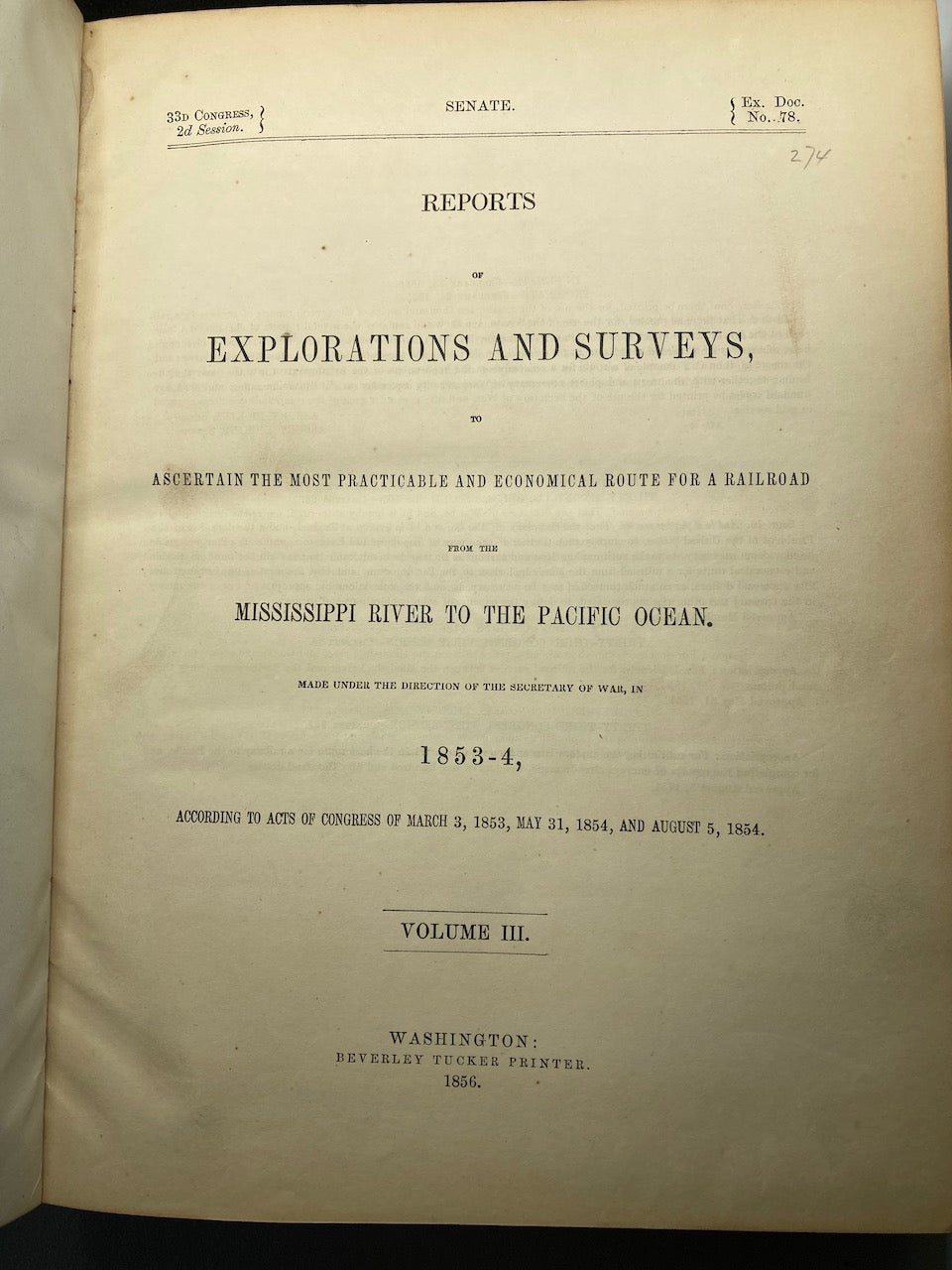
Reports of Exploration and Surveys, to Ascertain the Most Practicable and Economic Route for a Railroad from the Mississippi River to the Pacific Ocean In 1853-4 Vol. III
Reports of Exploration and Surveys, to Ascertain the Most Practicable and Economic Route for a Railroad from the Mississippi River to the Pacific Ocean In 1853-4 Vol. III


Reports of Exploration and Surveys, to Ascertain the Most Practicable and Economic Route for a Railroad from the Mississippi River to the Pacific Ocean In 1853-4 Vol. III
Published by Beverly Tucker,, Washington:, 1856
First Edition. 4to, leather spine and tips with marbled boards, 36, Illustrations include 21 tinted/color lithographs, one folding diagram, two folding maps, and a couple of black and white plates, 36, [14], 136, 127, 175 pp. Binding with some wear at the spine and extremities, plates all present, 1 of the folding maps ha a tear, some staining to front endpapers, plates and text show some aging, foxing and browning, but most plates reasonably are clean. One of the great sources of information on the west, the Pacific Railroad Reports also contains some great illustrations. This installment (Vol. III) is no exception. Included are some interesting and colorful pictures of the Mojave Indians and their territory. This report contains intelligence on an expedition near the 35th parallel, which took the southern route due west to the Pacific Ocean from Fort Smith Kansas, that was conducted by Lieutenant A.W. Whipple and assisted by Lieutenant J.C. Ives. Ives would make his own mark on western expansion a few years later in his travels on the Colorado River. The substantial amount of information on various Indigenous tribes makes this installment an important one.
