
Vendor:
Kee Books and Maps
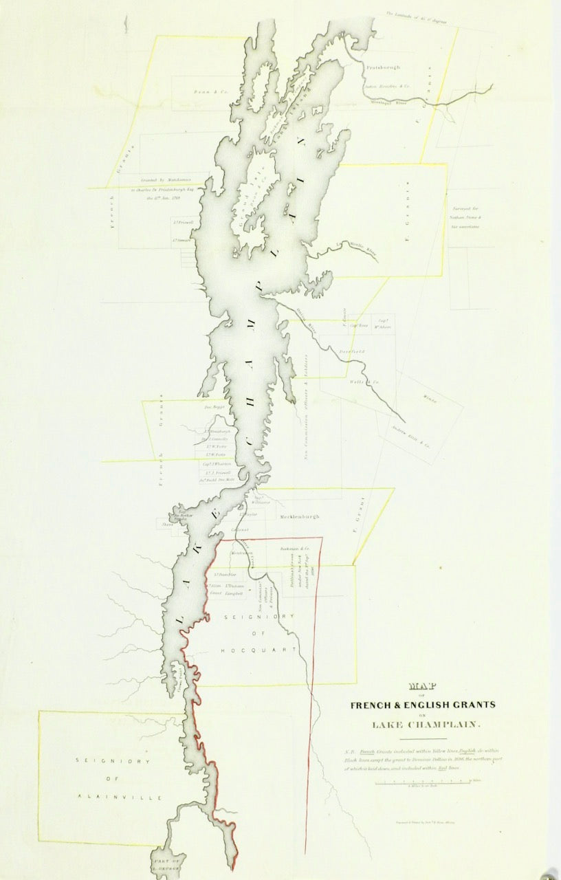
MAP OF FRENCH AND ENGLISH GRANTS ON LAKE CHAMPLAIN 1840
Regular price
$675.00 USD
Sale price
$675.00 USD
Description
MAP OF FRENCH AND ENGLISH GRANTS ON LAKE CHAMPLAIN 1840
Current product
Current
Vendor:
Kee Books and Maps
MAP OF FRENCH AND ENGLISH GRANTS ON LAKE CHAMPLAIN 1840
Regular price
$675.00 USD
Sale price
$675.00 USD
Options
Descriptions
TITLE: MAP OF FRENCH AND ENGLISH GRANTS ON LAKE CHAMPLAINDATE: 1850SIZE: 23” X 14 1/4” Author Richard H. Pease Very Good condition. Place of Publication Albany, US Discover the rich history of Lake Champlain and its surrounding areas with this detailed and carefully crafted map. Created by renowned cartographer Richard H. Pease in 1850, it measures 23” x 14 1/4” and is in excellent condition. Perfect for collectors, scholars, and history enthusiasts, this map provides valuable insights into the complex relationships between French and English land grants and the region's geopolitical landscape.