Map Of Fort Hill Monterey California 1847
Map Of Fort Hill Monterey California 1847


Map Of Fort Hill Monterey California 1847
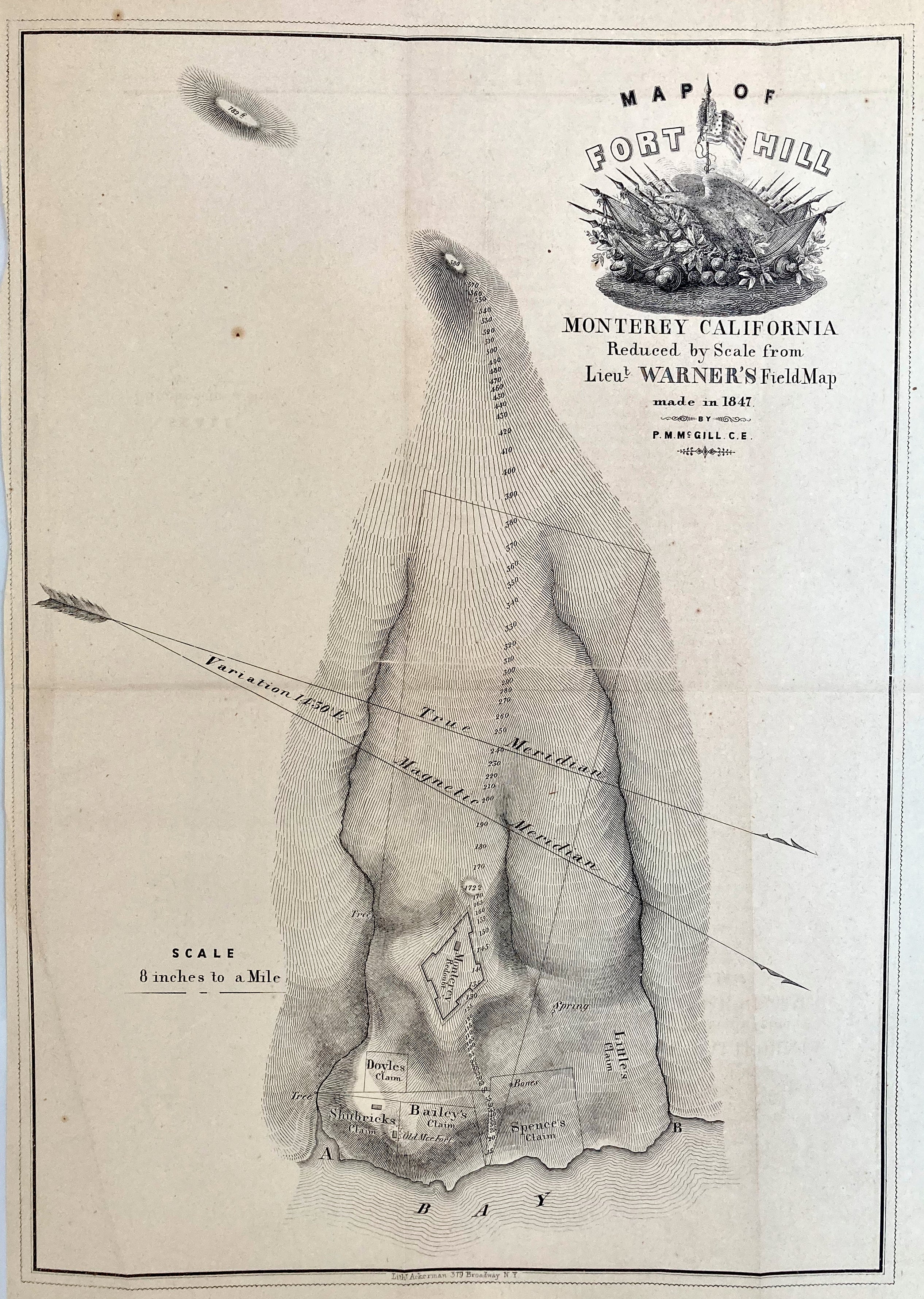
(1847) "Map of Fort Hill - Monterey, California" Reduced by Scale from Lieut. Warner's Field Map, by P.M.M. Gill, 1850
SCARCE 1847 Map of the region around Monterey, CA
(Published) New York, NY, C.E., Lith. Akerman, 379 Broadway, N.Y. showing topographical detail as well as Fort and Claim placements,
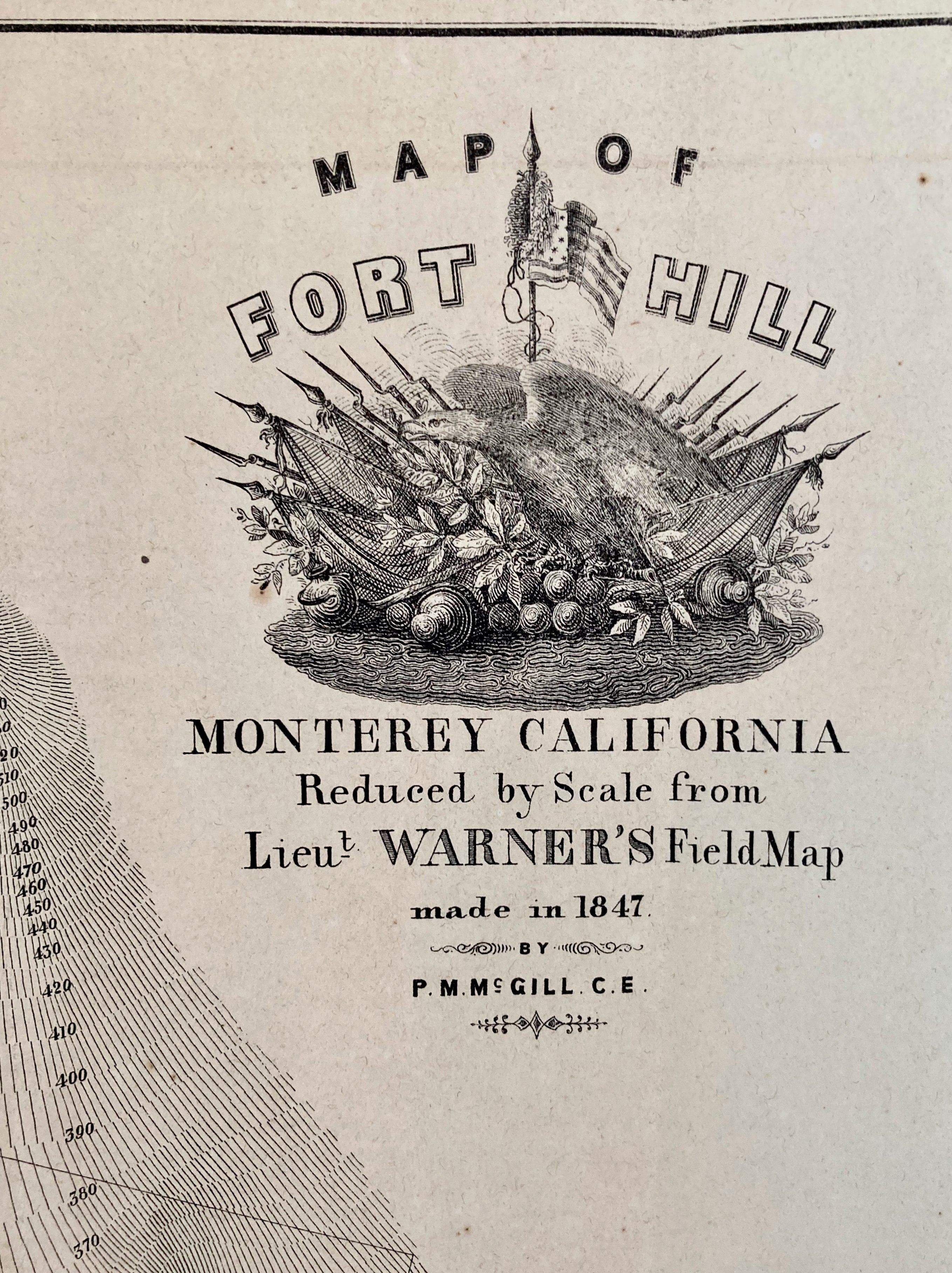
Very Good. Extremely detailed (8 in. to 1 mile) and Decorative Map of the region around Monterey, California. It shows the fortifications at Monterey, the Old Mexican Fort and Shirbrick's Claim, Doyle's Claim, Spence's Claim, Little's Claim and Bailey's Claim. Detail showing topographical features as well as the fort and various claim placements. Decorative vignette of the American Flag and militaria, displayed at upper right. 14.5" X 10.25" light fold lines and some light tone on wove period paper. NY Ackerman
