JUDITH BASIN, MONTANA 1876
JUDITH BASIN, MONTANA 1876

JUDITH BASIN, MONTANA 1876
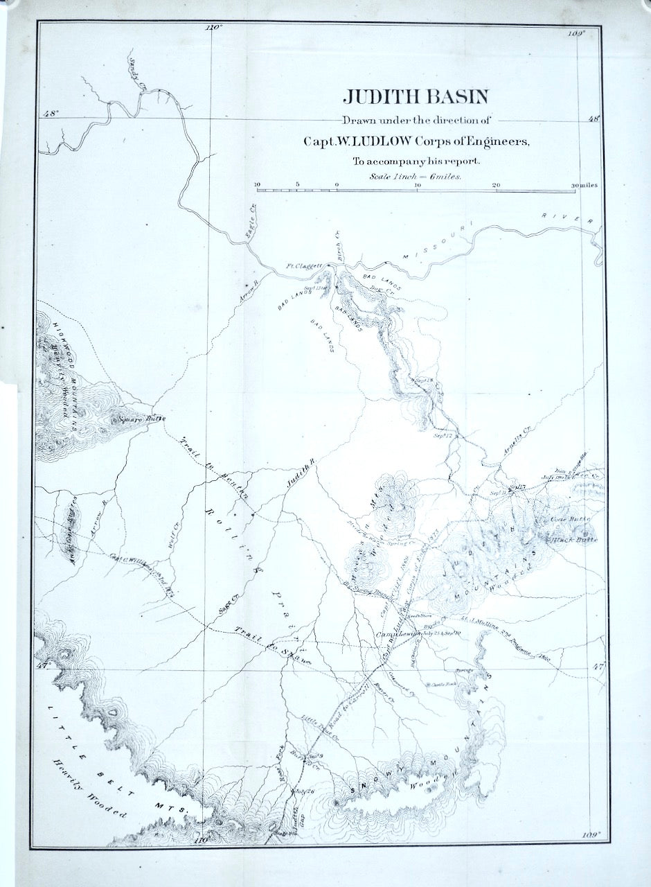
Judith Basin MONTANA
drawn under the direction of Capt. W. Ludlow, Corps of Engineers, to accompany his report.
Date: [1876]
1 map ; 44 x 30 cm.
Washington, D.C : Corps. of Engineers
Scale [1:380,160]. 1 in. = 6 miles.
Relief shown by form lines.
Shows drainage, trails, etc.
Judith Basin MONTANA
drawn under the direction of Capt. W. Ludlow, Corps of Engineers, to accompany his report.
Date: [1876]
1 map ; 44 x 30 cm.
Washington, D.C : Corps. of Engineers
From his Report of a reconnaissance from Carroll, Montana Territory, on the upper Missouri, to the Yellowstone National Park, and return, made in the summer of 1875. 1876. In addition to providing detailed topographical information, this map also highlights important geographical features such as drainage and trails. It was created under the direction of Capt. W. Ludlow, a renowned industry expert and Corps of Engineers member, adding to its reliability and accuracy. This map is an essential resource for anyone looking to explore or study the Judith Basin area in Montana.
