FROM THE RED RIVER TO THE RIO GRANDE 1854
FROM THE RED RIVER TO THE RIO GRANDE 1854

FROM THE RED RIVER TO THE RIO GRANDE 1854
FROM THE RED RIVER TO THE RIO GRANDE 1854
1854 Blake Geological Map of Texas from the Red River to the Rio Grande
RedRiverRioGrande-blake-1854
Important and rare early survey of Texas for the Southern Pacific Railroad.
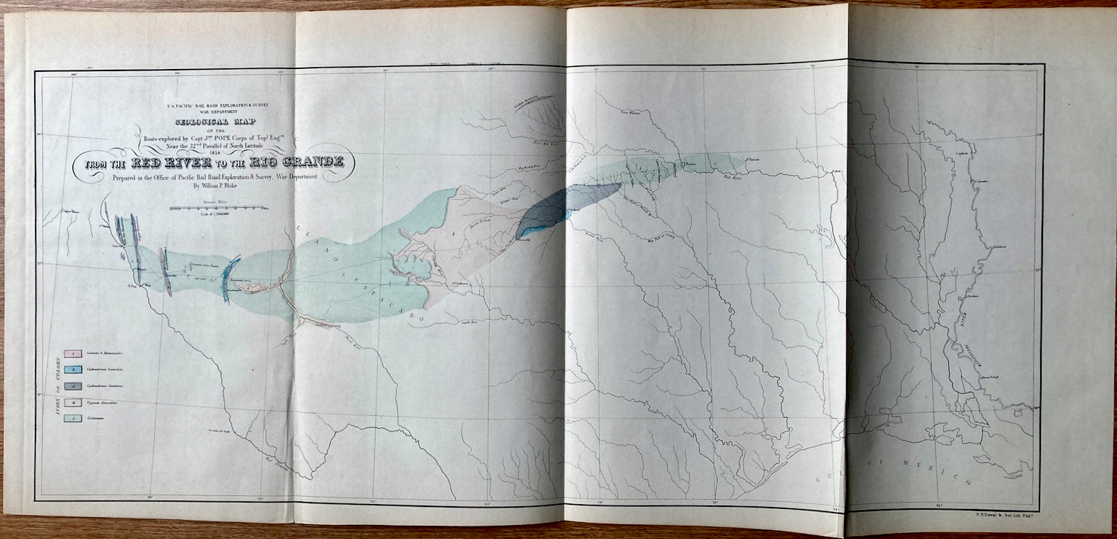
Geological map of the route explored by Capt. Jno. Pope, Corps of Topl. Engrs. near the 32nd parallel of north latitude, 1854.
1854 (dated) 10.5 x 23.5
Expertly crafted Geological Map, centered on Texas and published in conjunction with the search for the most practical route for a railroad line to the Pacific Ocean. A superb example of William Phipps Blake's geological railroad survey of the region stretching from the Red River to the Rio Grande River. The map showcases the Rio Grande River and El Paso to the Mississippi River and Baton Rouge, as well as the Red River and its tributaries extending to the Gulf of Mexico. Explored by Captain John Pope, this would become the same region traversed by the Southern Pacific. A 'key of colors' along the left border visually differentiates between the deposits: granite, limestone, sandstone, gypsum, and others. Copper mines, multiple mountain ranges, forts, and numerous rivers are accurately labeled.
