Map of the Frontiers of the Northern Colonies 1768 Revised 1850
Map of the Frontiers of the Northern Colonies 1768 Revised 1850
Map of the Frontiers of the Northern Colonies 1768 Revised 1850
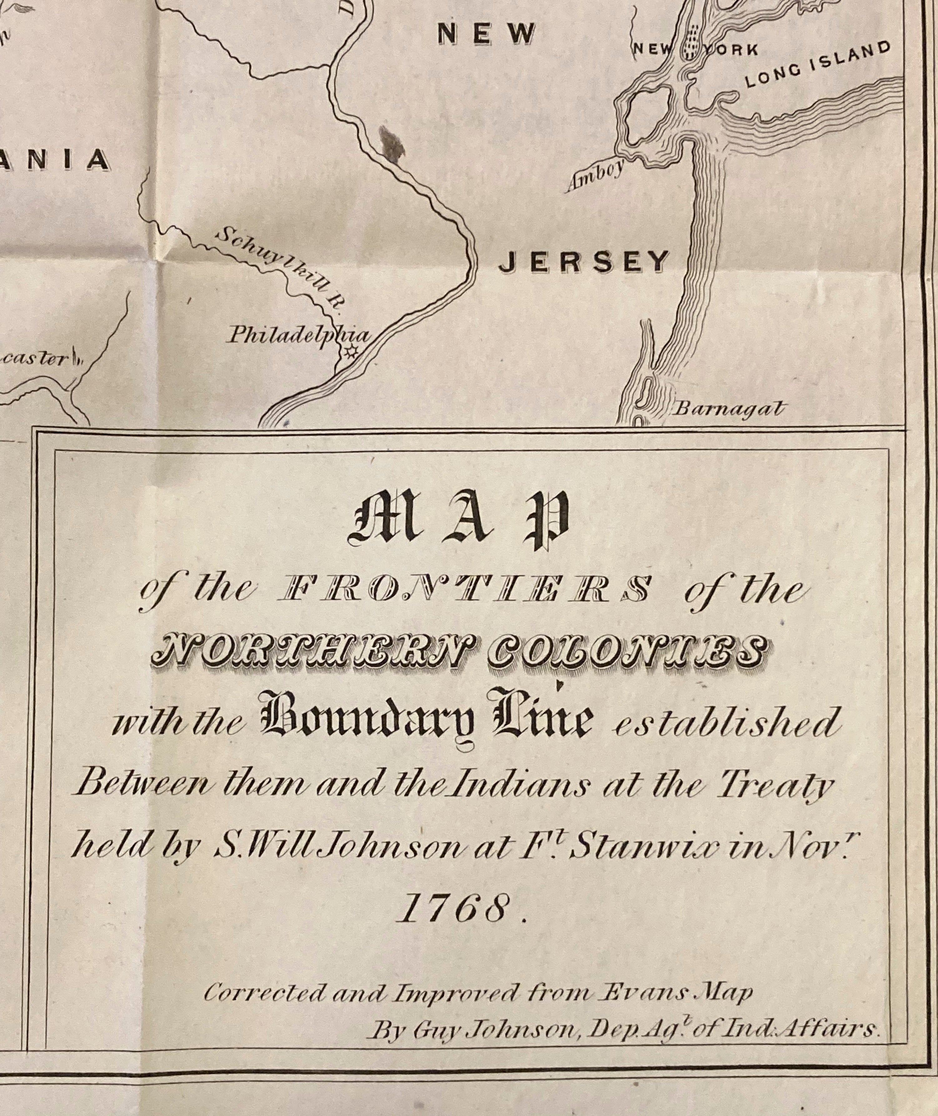
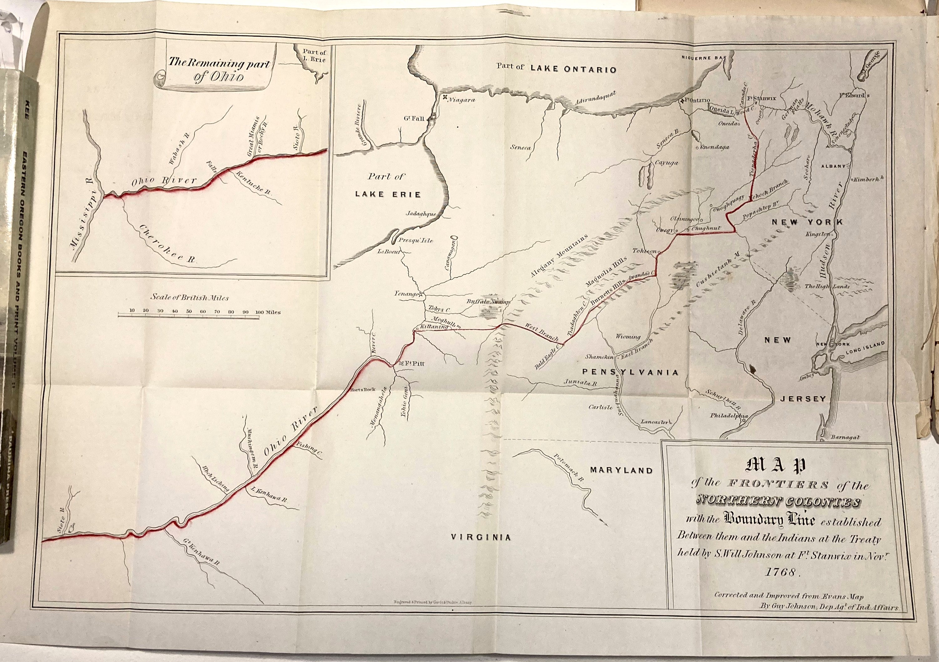
TITLE: Map of the Frontiers of the Northern large map and small map with report.
Colonies with the Boundary Line established Between them and the Indians at the Treaty held by
S. Will Johnson at Ft.
Stanwix in Novr. 1768
DATE: 1768 Re-vised 1850
SIZE: 34 × 22 inches
PUBLISHER: JOHN.L. GAVIT ALBANY
CONTRIBUTORS: Johnson, Guy
Map of the Frontiers of the Northern Colonies with the Boundary Line established Between them and the Indians at the Treaty held by S.Will John
17.5" x 12.5",
The map has been "corrected and improved from Evans Map by Guy Johnson, Department Agent of Indian Affairs" and the original was engraved and printed by Gavit & Duthie, of Albany, New York. Includes an inset of "The remaining part of Ohio.
Johnson, Guy
