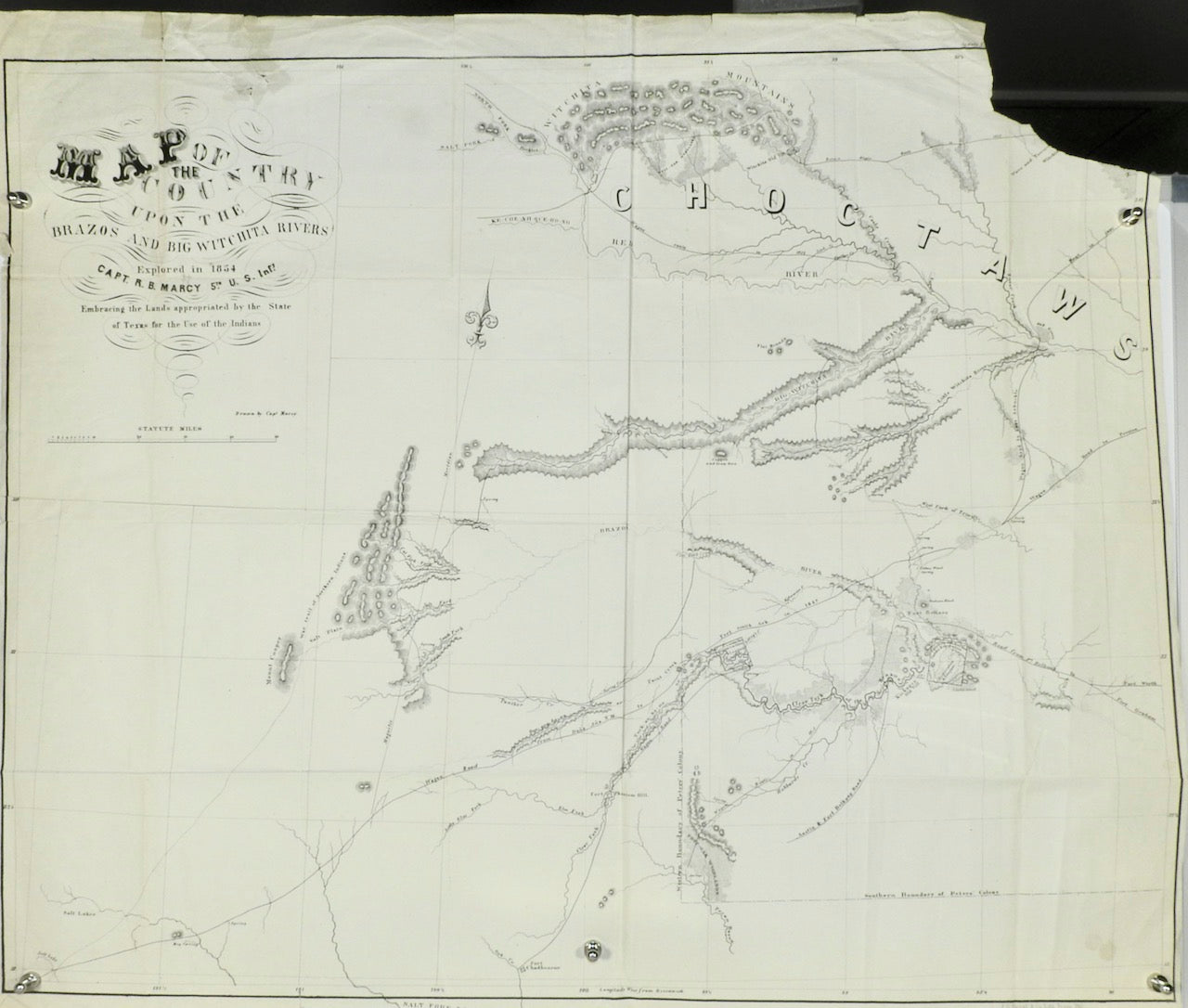
MAP OF THE COUNTRY UPON THE BRAZOS AND BIG WITCHITA RIVERS 1854
MAP OF THE COUNTRY UPON THE BRAZOS AND BIG WITCHITA RIVERS 1854

MAP OF THE COUNTRY UPON THE BRAZOS AND BIG WITCHITA RIVERS 1854
TITLE: MAP OF THE COUNTRY UPON THE BRAZOS AND BIG WITCHITA RIVERS
DATE: 1854
CONTRIBUTORS: CAPT. R.B. MARCY
DESCRIPTION: EMBRACING THE LANDS APPOINTED BY THE STATE OF TEXAS FOR THE USE OF THE INDIANS Discover the rich history of Texas through this meticulously detailed map from 1854. Featuring the lands appointed by the state for the use of native indigenous populations, this map is a valuable resource for understanding the early days of Texas and the relationships between different communities. With contributions from esteemed explorer Captain R.B. Marcy, this map is a must-have for anyone interested in the history of the Southwest.
CORNER IS MISSING FROM MAP SEE IMAGE
