Map Of Oregon And Upper California From the Surveys of John Charles Fremont 1848
Map Of Oregon And Upper California From the Surveys of John Charles Fremont 1848
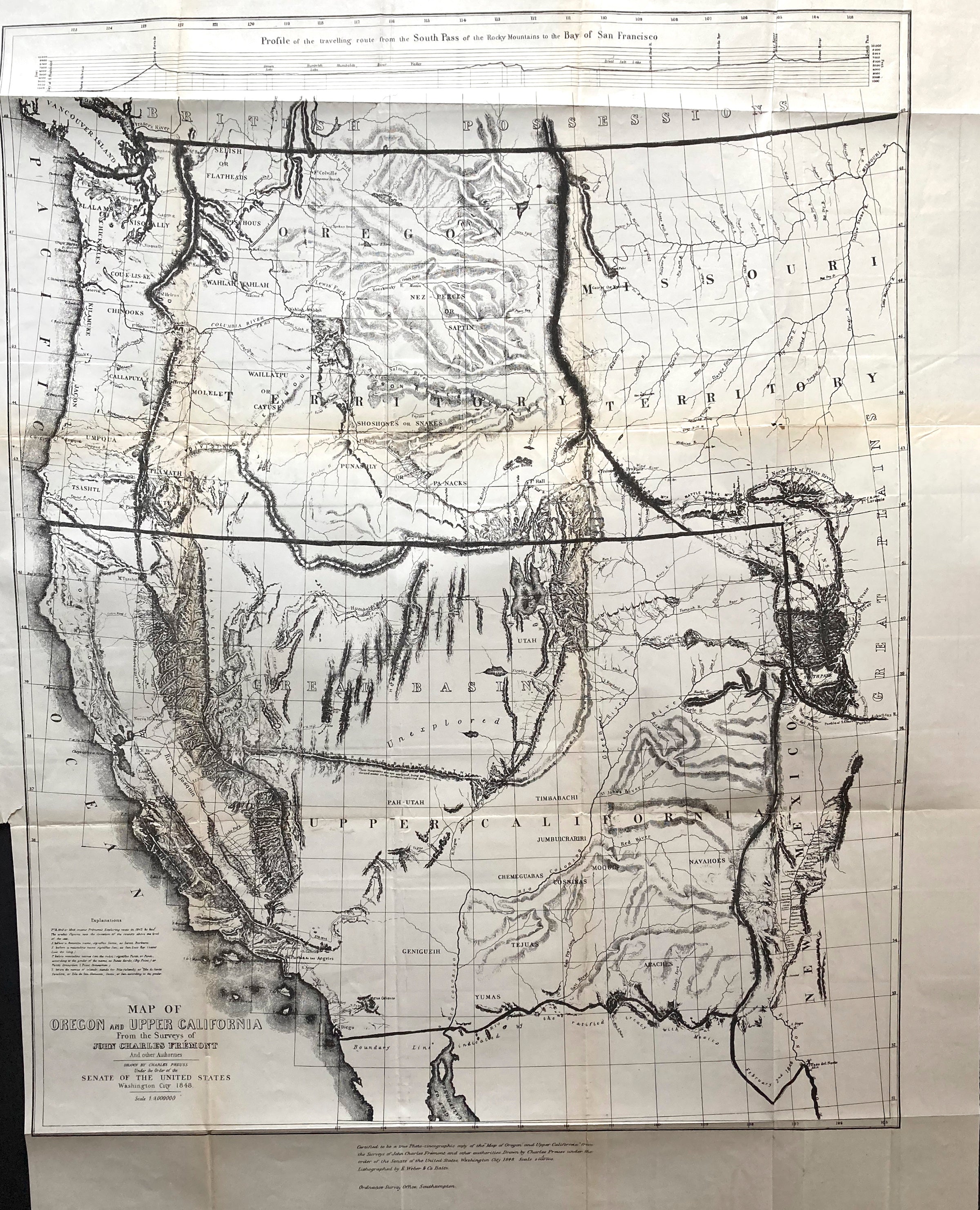
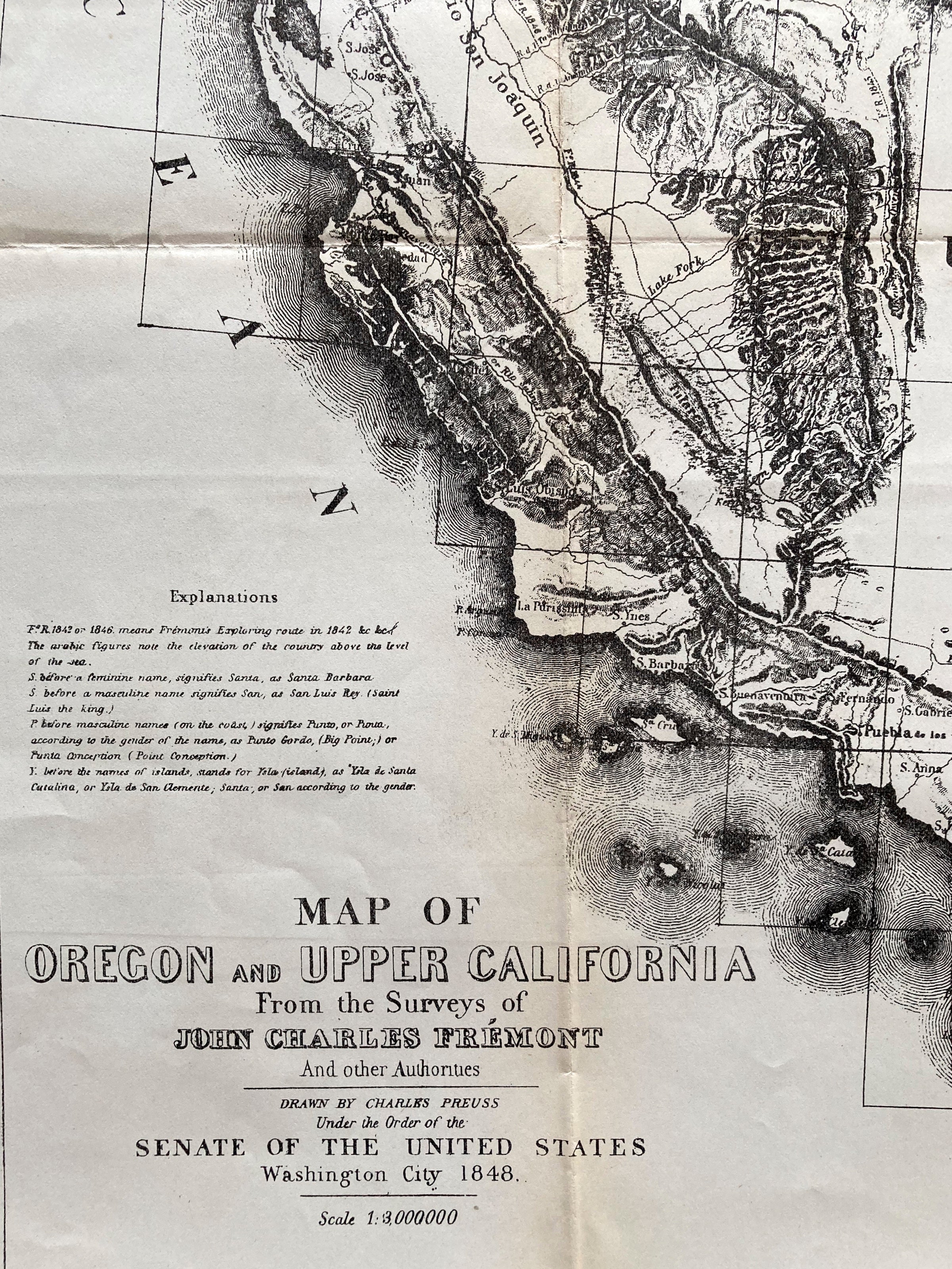
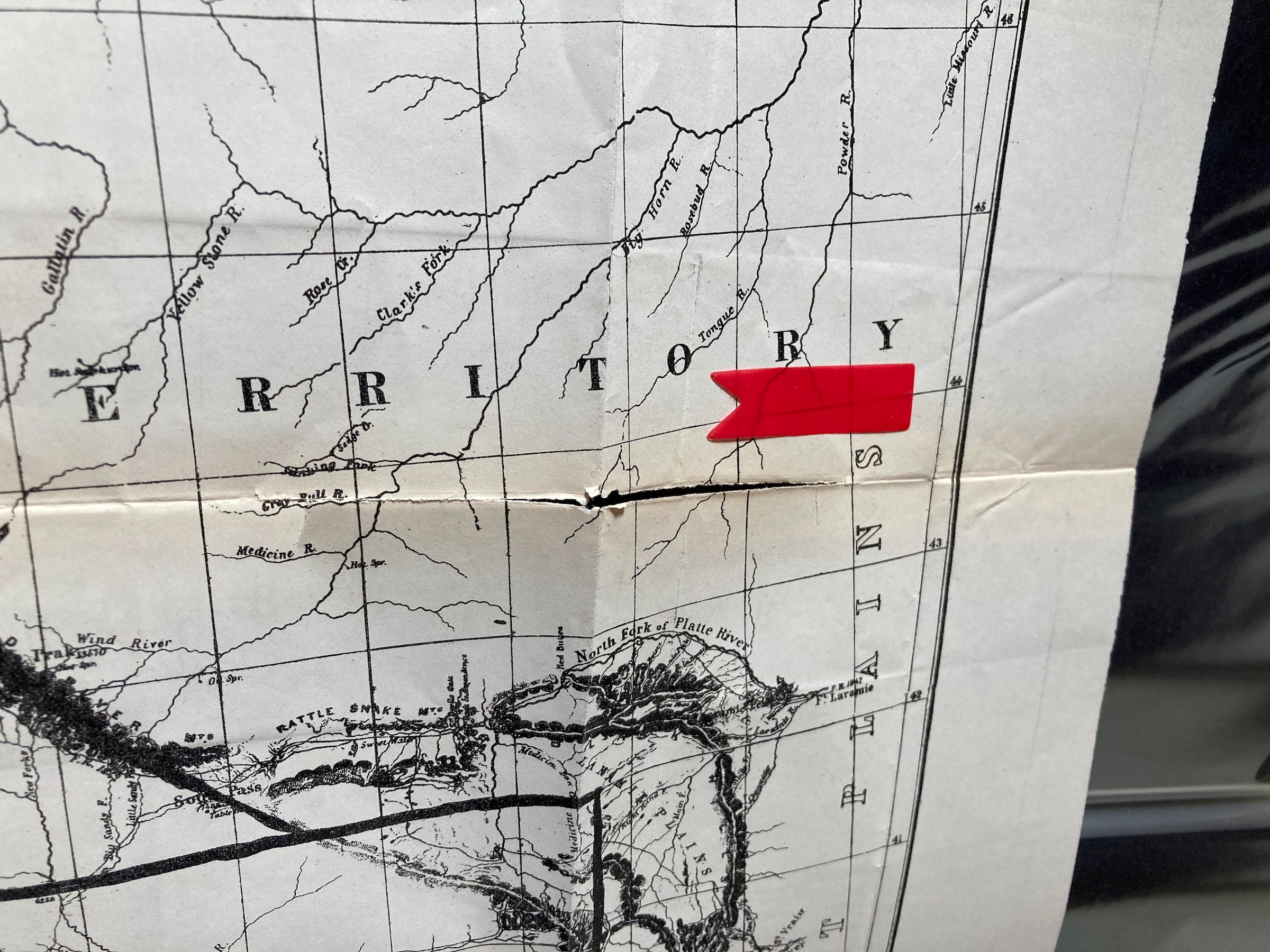
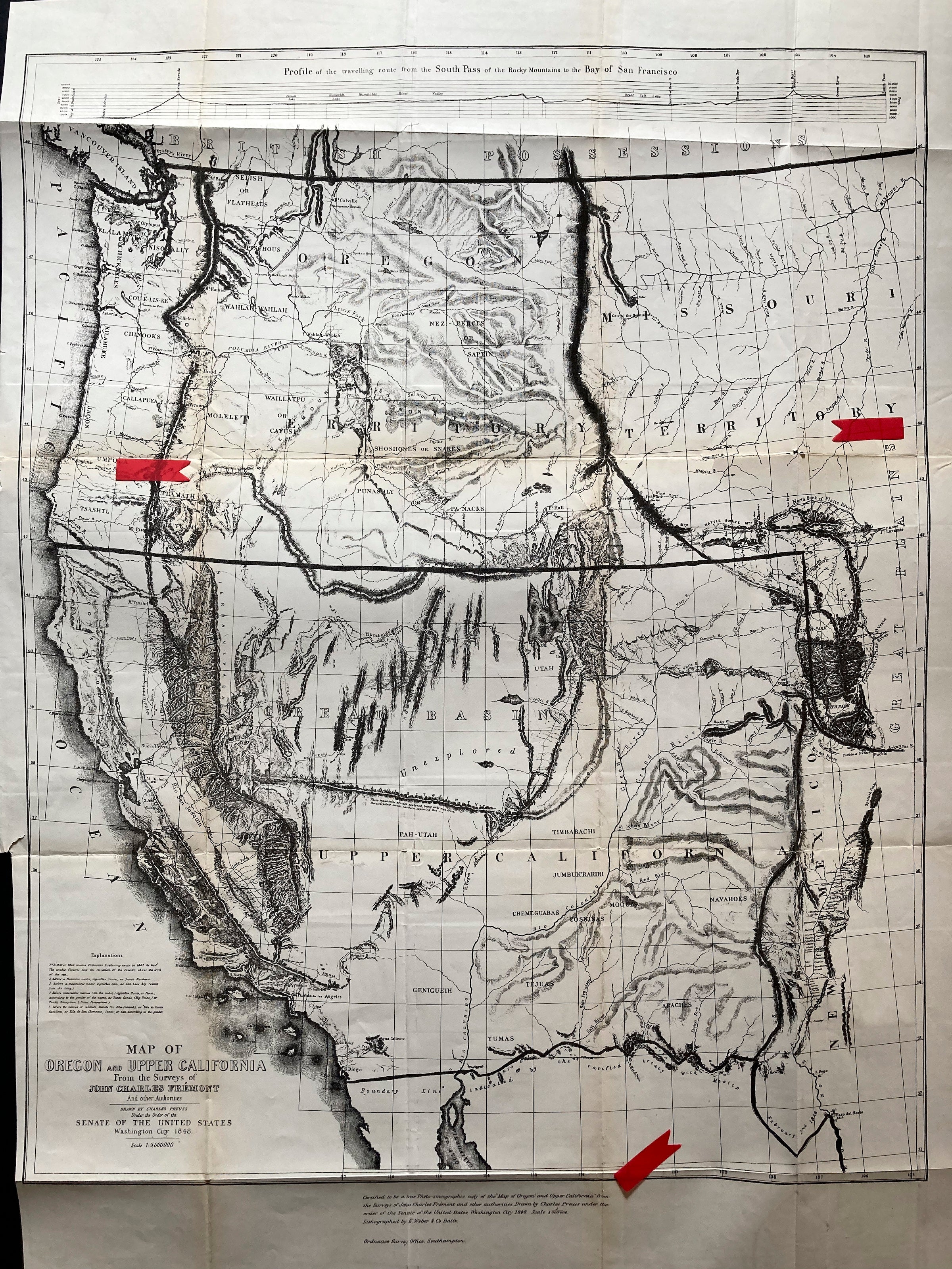
Map Of Oregon And Upper California From the Surveys of John Charles Fremont 1848
Title: 'Map Of Oregon And Upper California From the Surveys of John Charles Fremont And other Authorities. Drawn By Charles Preuss Under the Order of the Senate Of The United States, Washington City 1848. Lithy. by E. Weber & Co. Balto. (inset) Profile of the traveling route from the South Pass of the Rocky Mountains to the Bay of San Francisco.'
By: Charles Preuss
Date: 1848
Baltimore
Dimensions: 33 x 26.25 inches
This map is one of the most important American maps of the 19th century, a cornerstone to any Western collection.
This 19th century map, based on the surveys conducted by John Charles Fremont between 1842 and 1845, captures the evolving landscape of the American west. John, a pioneer married to Jessie Benton, daughter of Senator Thomas Hart Benton, was a staunch proponent of Manifest Destiny. With the help of his father-in-law, John received Congressional funding for three expeditions - the Oregon Trail in 1842, the Oregon Territory in 1844, and the territory between the Great Basin and the Sierras in 1845. This map is the culmination of all the gathered information from John's expeditions, making it a comprehensive resource of the covered area.
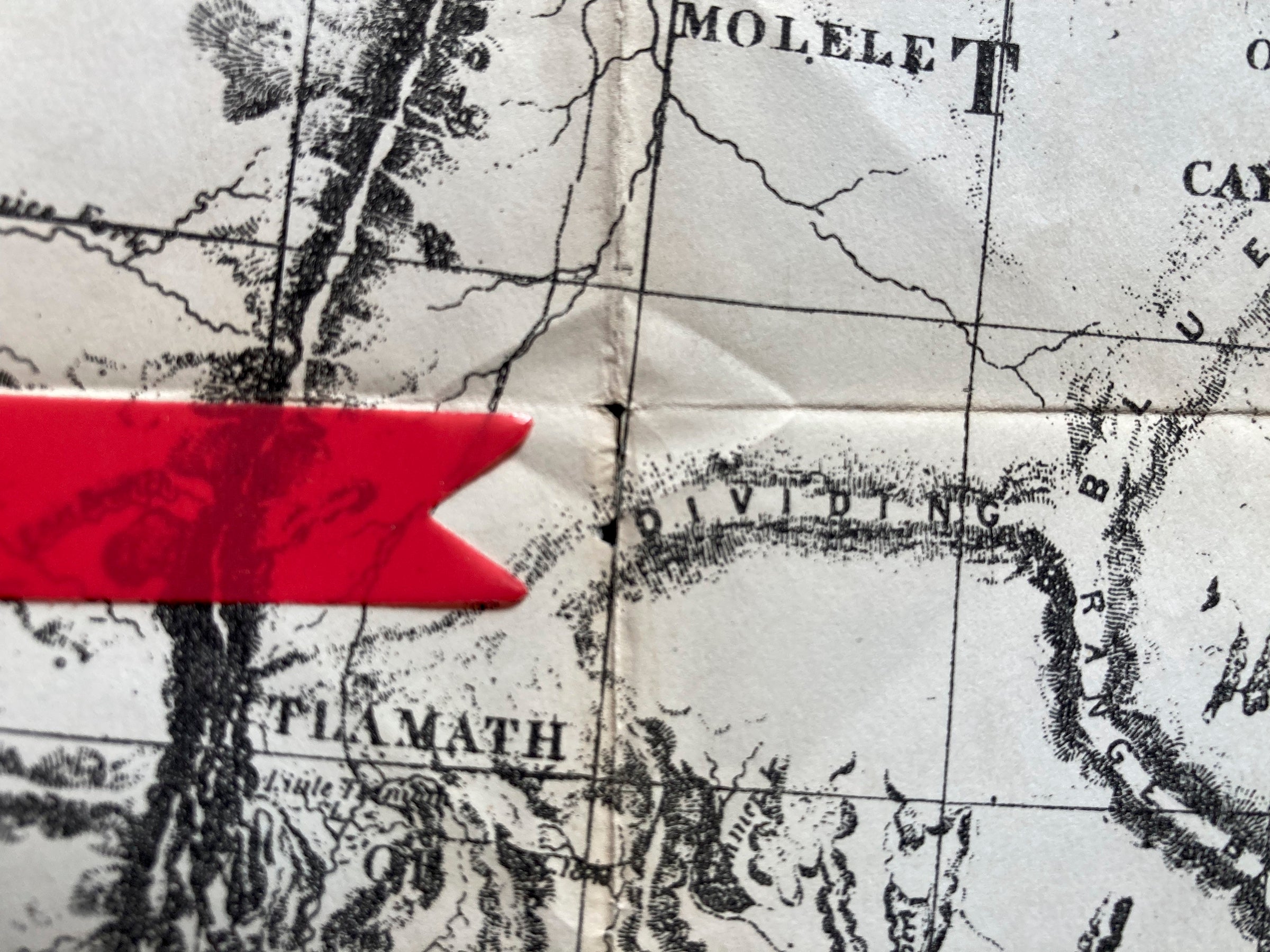
Condition: This map is in A condition Light toning and small tears at folds present in places. See Images.
A smaller version of the map appears in President Polk's Message of 1849.
